

 Image 1 of 2
 Image 2 of 2
Name: Mt. Elgon
Location: Eastern Uganda and western Kenya, straddling the Uganda–Kenya border
Type: Extinct shield volcano with a deeply eroded caldera
Elevation: Approx. 4,321 meters (14,177 feet) at Wagagai Peak (Uganda); overall massif rises roughly 3,000–4,000 meters above surrounding plains
Notable Peaks: Wagagai (highest, Uganda), Sudek (Kenya side), Mubiyi, Koitobos
Geological Age: Formed during the Miocene to Pleistocene; volcanic activity peaked millions of years ago, now dormant/extinct
Caldera and Erosion: Features one of the largest intact volcanic calderas in the world, heavily dissected by stream erosion creating steep ravines and cliffs
Glacial History: Evidence of past glaciation during the Pleistocene, including moraines and former ice caps at higher elevations
Climate: Varies with altitude — montane and afro-alpine climates at higher elevations; warm, humid tropical conditions in lower slopes
Vegetation Zones: Montane forest, bamboo belt, heath and bog, afro-alpine moorland; rich bamboo stands historically supported unique primate populations
Biodiversity and Wildlife: Habitat for endemic and near-endemic species — including Elgon francolin, Abbott’s duiker, various primates (historic populations of the giant forest hog and forest elephants in lower zones), many bird and butterfly species
Conservation Status: Partly protected by Mt. Elgon National Park (Uganda) and Mt. Elgon National Park (Kenya); faces threats from deforestation, agricultural encroachment, illegal logging, and human-wildlife conflict
Rivers and Watershed: Source of several important rivers feeding Lake Victoria and other regional basins; crucial watershed for local communities and agriculture
Human Inhabitants and Culture: Surrounding areas populated by Bukusu, Bagisu, and Sabiny peoples, among others; mountain plays a role in local folklore and spiritual traditions
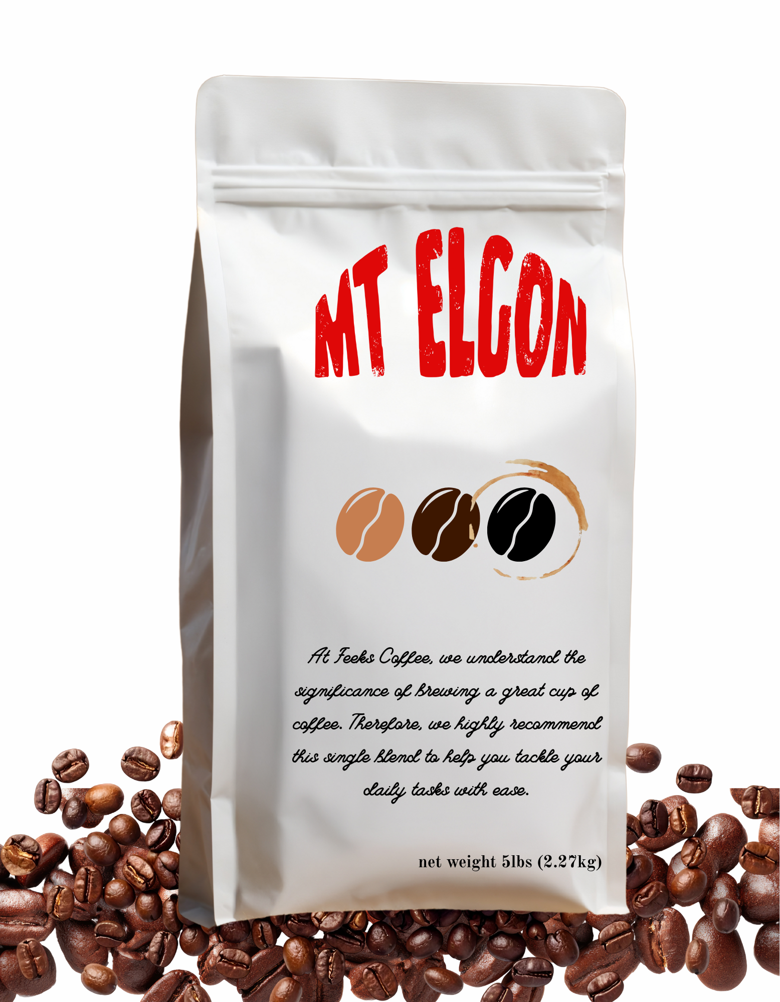
Economic Activities: Subsistence agriculture, tea and coffee cultivation on lower slopes, beekeeping, some ecotourism and hiking
Access and Recreation: Trekking routes to Wagagai and Sudek; trails vary from multi-day hikes to shorter nature walks; park facilities and guides available on both sides
Hazards: Steep cliffs, deep ravines, sudden weather changes, potential for landslides in deforested areas
Interesting Fact: Mt. Elgon’s caldera is one of the largest accessible calderas and contains hot springs and numerous caves, historically used by local communities and wildlife for shelter
Best Time to Visit: Dry seasons, typically December–February and June–September, for clearer trails and reduced rainfall risks
Name: Mt. Elgon
Location: Eastern Uganda and western Kenya, straddling the Uganda–Kenya border
Type: Extinct shield volcano with a deeply eroded caldera
Elevation: Approx. 4,321 meters (14,177 feet) at Wagagai Peak (Uganda); overall massif rises roughly 3,000–4,000 meters above surrounding plains
Notable Peaks: Wagagai (highest, Uganda), Sudek (Kenya side), Mubiyi, Koitobos
Geological Age: Formed during the Miocene to Pleistocene; volcanic activity peaked millions of years ago, now dormant/extinct
Caldera and Erosion: Features one of the largest intact volcanic calderas in the world, heavily dissected by stream erosion creating steep ravines and cliffs
Glacial History: Evidence of past glaciation during the Pleistocene, including moraines and former ice caps at higher elevations
Climate: Varies with altitude — montane and afro-alpine climates at higher elevations; warm, humid tropical conditions in lower slopes
Vegetation Zones: Montane forest, bamboo belt, heath and bog, afro-alpine moorland; rich bamboo stands historically supported unique primate populations
Biodiversity and Wildlife: Habitat for endemic and near-endemic species — including Elgon francolin, Abbott’s duiker, various primates (historic populations of the giant forest hog and forest elephants in lower zones), many bird and butterfly species
Conservation Status: Partly protected by Mt. Elgon National Park (Uganda) and Mt. Elgon National Park (Kenya); faces threats from deforestation, agricultural encroachment, illegal logging, and human-wildlife conflict
Rivers and Watershed: Source of several important rivers feeding Lake Victoria and other regional basins; crucial watershed for local communities and agriculture
Human Inhabitants and Culture: Surrounding areas populated by Bukusu, Bagisu, and Sabiny peoples, among others; mountain plays a role in local folklore and spiritual traditions
Economic Activities: Subsistence agriculture, tea and coffee cultivation on lower slopes, beekeeping, some ecotourism and hiking
Access and Recreation: Trekking routes to Wagagai and Sudek; trails vary from multi-day hikes to shorter nature walks; park facilities and guides available on both sides
Hazards: Steep cliffs, deep ravines, sudden weather changes, potential for landslides in deforested areas
Interesting Fact: Mt. Elgon’s caldera is one of the largest accessible calderas and contains hot springs and numerous caves, historically used by local communities and wildlife for shelter
Best Time to Visit: Dry seasons, typically December–February and June–September, for clearer trails and reduced rainfall risks